Stand on the plaza and look south, or east: surface parking and undeveloped land, block after block of it. The aerial at the bottom of this page shows those same lots in the late 1970s. Much of the ground looks remarkably similar today.
When people say City Hall's district is underbuilt, this is the land they're describing — and every one of those parcels has an owner. This page will map them: each lot, who holds it, and what the county appraises it at, built from the Dallas Central Appraisal District's public records, with every parcel linked to its DCAD entry so you can check it yourself.
Whoever owns the ground next to City Hall has a stake in what the city decides to do with these sixteen acres. The public record already knows their names. This page is where those names get put on a map.
Nothing is mapped yet. This page is a placeholder for work that hasn't been done. When the map is here, every claim on it will trace to a county record — until then, it makes none.
Part of this ground — the plaza in particular — may be dedicated park land. If it is, that constrains what the city can sell, lease, or demolish, and how. Legal review is ongoing; until it's done, this page treats the question as open rather than answered.
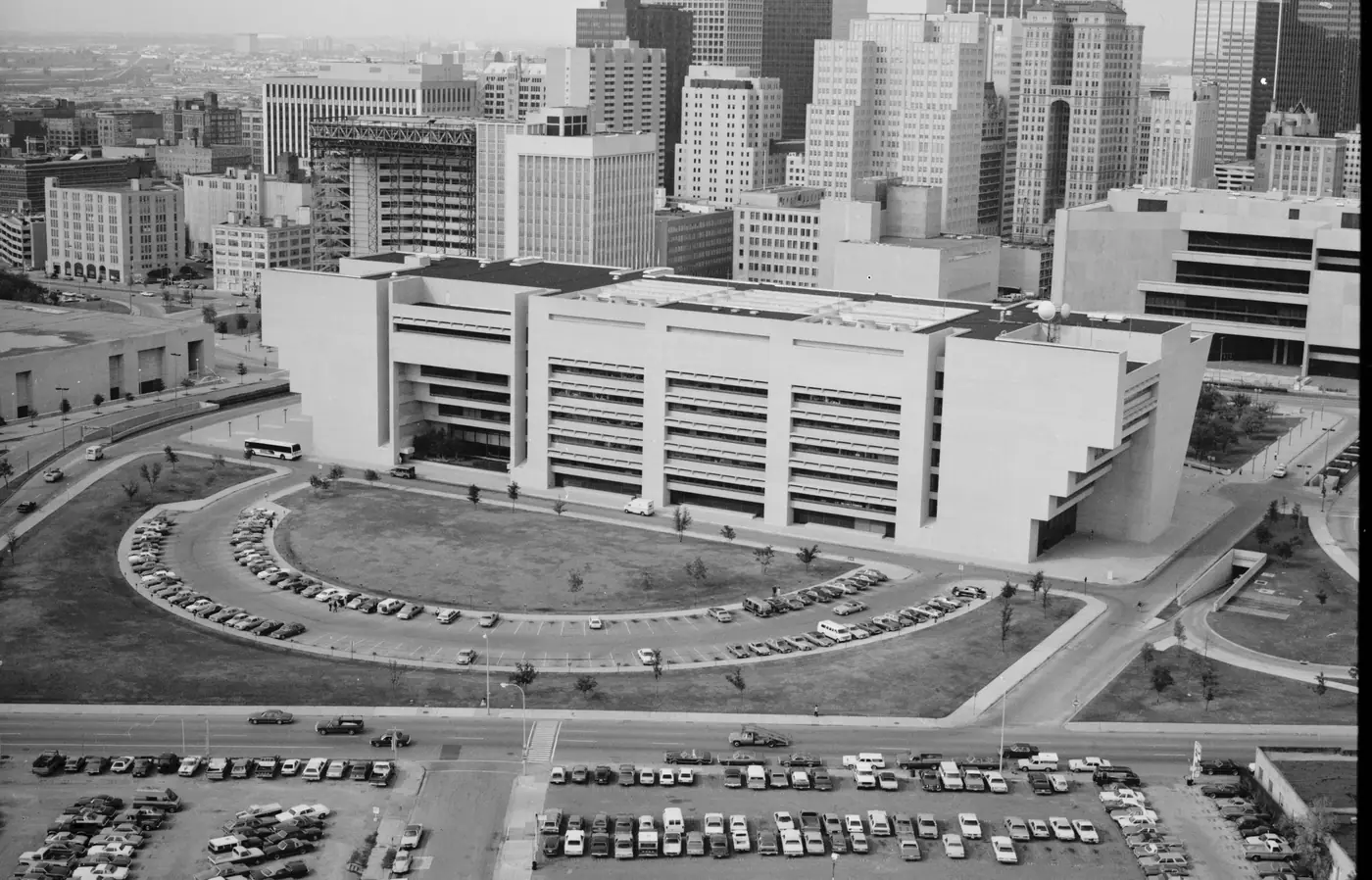
 1500 MARILLA